

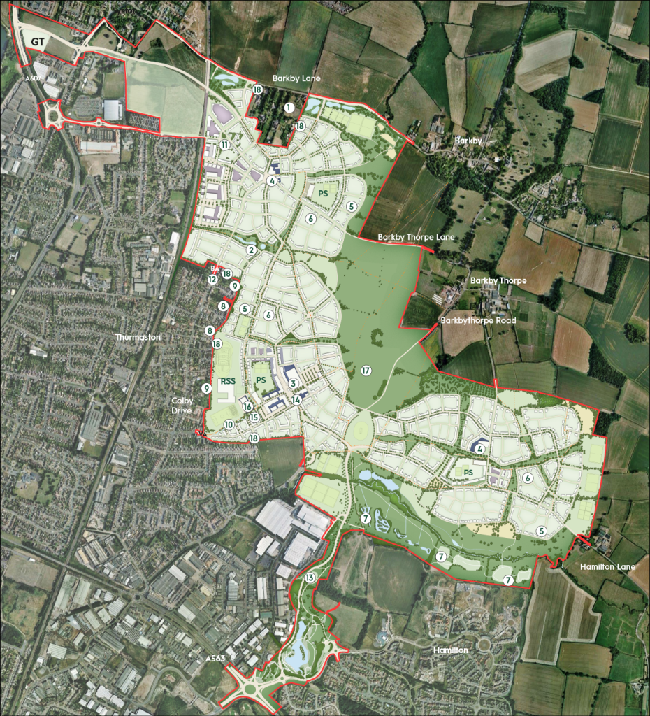

Site boundary

Employment

Commercial and community

Mixed-use

Primary school site

Reserve secondary school site

Reserve site for gypsies and travellers

Residential

Low density edge to open space

Parks, natural and semi-natural


Allotments
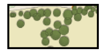
Indicative orchards
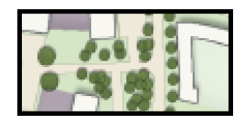
Indicative trees and tree groups
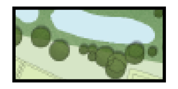
Water/SUDS

Primary access roads

Bus only link

Restricted vehicular access to East Thurmaston

Indicative internal roads
Footpaths, bridleways and cyclepaths
Indicative Phasing Plan – please click here to download the indicative phasing plan
Indicative Delivery Schedule – please click here to review an indicative summary timeline for the delivery of facilities and infrastructure
New green spaces, footpaths and cycleways will be included within individual phases of the development with a destination park forming a key focus.
To find out more about the wider development email: thorpebury@ceg.co.uk